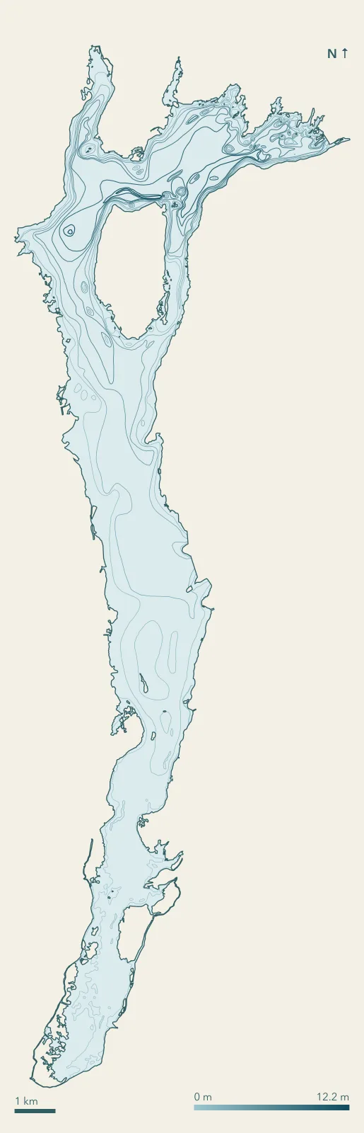
Survey facts
- Deepest contour12.2 m (40 ft)
- Area49 km²
- Survey year1967
- MethodTransect
- Scale1 cm = 500 feet
- Nearest townPeterborough (16 km)
How deep is Pigeon Lake?
Ontario's survey draws its deepest contour at 12.2 m (40 ft). The bottom can sit a little deeper between contours. Depths are measured below the water level on the survey day in 1967, so they shift with the lake's level.
Not for navigation. These contours give depth below the water level on the survey day; levels and shoals change. Use Canadian Hydrographic Service charts where they exist.
Boating on Pigeon Lake?
Driving a boat with a motor, electric ones included, takes proof of competency, usually the Pleasure Craft Operator Card. Paddling a canoe or kayak without a motor takes no card.
Want this lake on the cottage wall? Prints are not on sale yet. Tell us if you would want one.
Canoe routes near Pigeon Lake
Depth data: Ontario bathymetric surveys, Land Information Ontario, Open Government Licence - Ontario. Towns: Canadian Geographical Names Database.